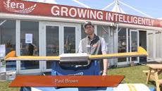
Paul Brown

Fera Science

How to Model Drainage Patterns with UAV Survey

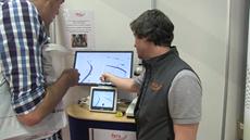
UAVs (unmanned aerial vehicles, or more commonly, drones) offer a cutting-edge 3D field survey system that enables farmers to accurately survey and model field compositions and characteristics. In this video, Fera's UAV scientist Paul Brown briefly summarizes the groundbreaking technique of using drones to model drainage patterns, which can be managed to prevent crop diseases.


LIKE 0


Paul Brown
Environmental Science

Paul Brown

Biography

Paul is a GI remote sensing scientist with an extensive range of experience in remote sensing, image processing and GIS analysis. More
Follow Paul

Paul Brown

Fera Science

Paul is a GI remote sensing scientist with an extensive range of experience in remote sensing, image processing and GIS analysis. Additionally, Paul is a qualified UAV (unmanned aerial vehicle or drone) pilot, highly experienced piloting both fixed-wing and rotary UAVs. He has extensive knowledge of a wide variety of software packages required for image processing and analysis including Pix4D, ERDAS IMAGINE, ER Mapper, eCognition, ArcGIS, PCI Geomatica, Global Mapper, QGIS and GRASS amongst others.